10 tools of the trade
Sun’s out. Staff’s out. ’Tis the season when our offices are a little emptier and we’re hanging up waders and washing boots at the end of the day.
Between April and September, staff in Oregon and Idaho take time to gather critical data on dozens of projects implemented this time last year and, in some cases, many years ago. We take this time because we believe in checking our work. We know that in the absence of monitoring and maintenance, restoration projects can and often do fail. So, our scientists head to the river with a bunch of gear and have a look at what’s happening on the ground. What’s used to capture the data varies widely – everything from a long wooden pole, which frequently doubles as a walking stick, to drones. Here are 10 behind-the-scenes tools we use to monitor our restoration sites. Stay tuned for more in this three-part “tools of the trade” series.
The Stick: It’s what it sounds like. A long wooden dowel that has measurements handwritten on it in permanent marker. It’s used to measure widths and depths of areas. It also often doubles as walking stick.
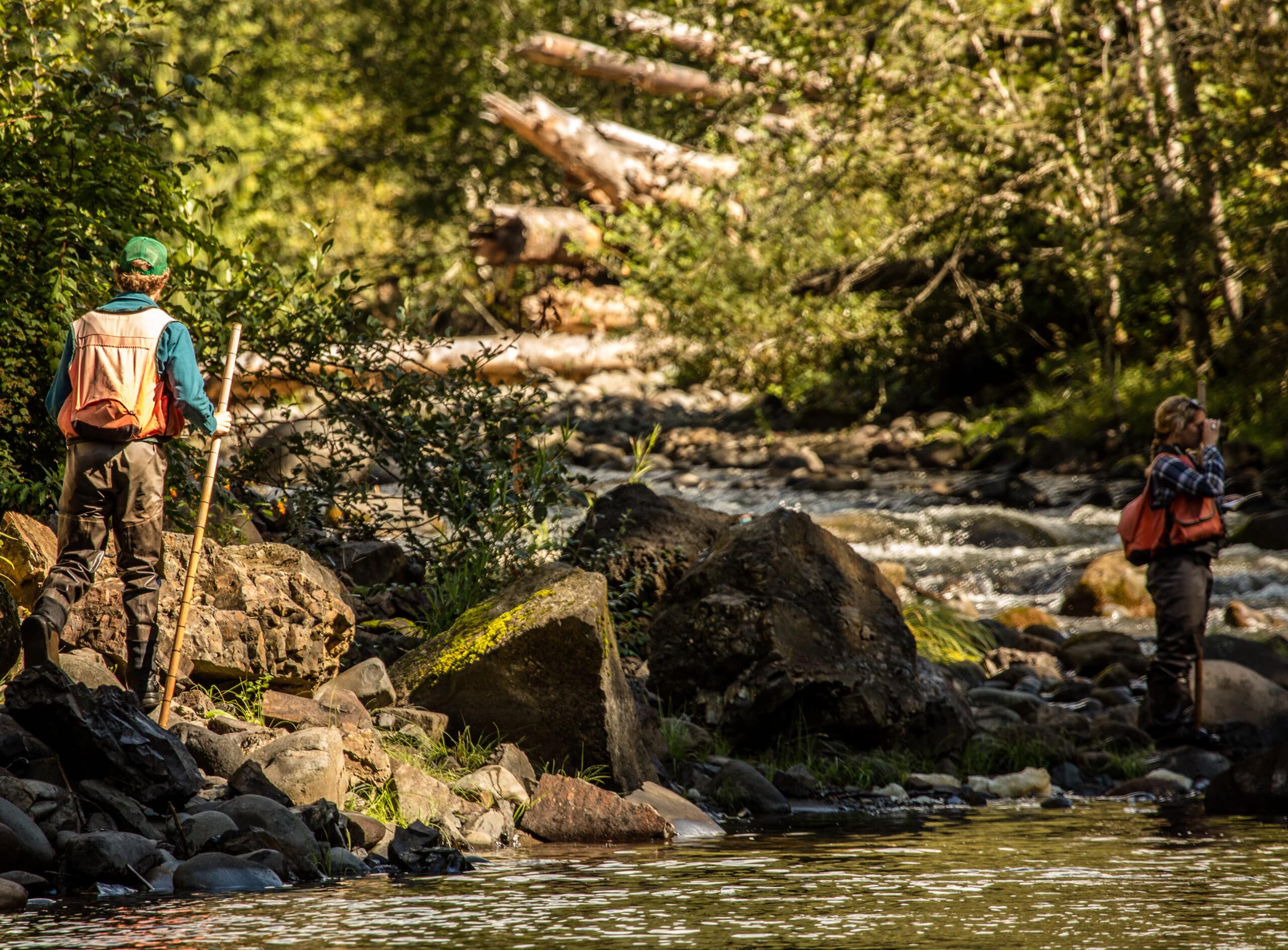
The Trimble: This is a high-accuracy (sub-meter!) GPS unit that allows us to mark and map key points, lines or polygons. It is used to map exact areas of ecological uplift for analysis and reporting as well as a navigation tool that helps field staff return to known points again and again for long-term status and trends monitoring.
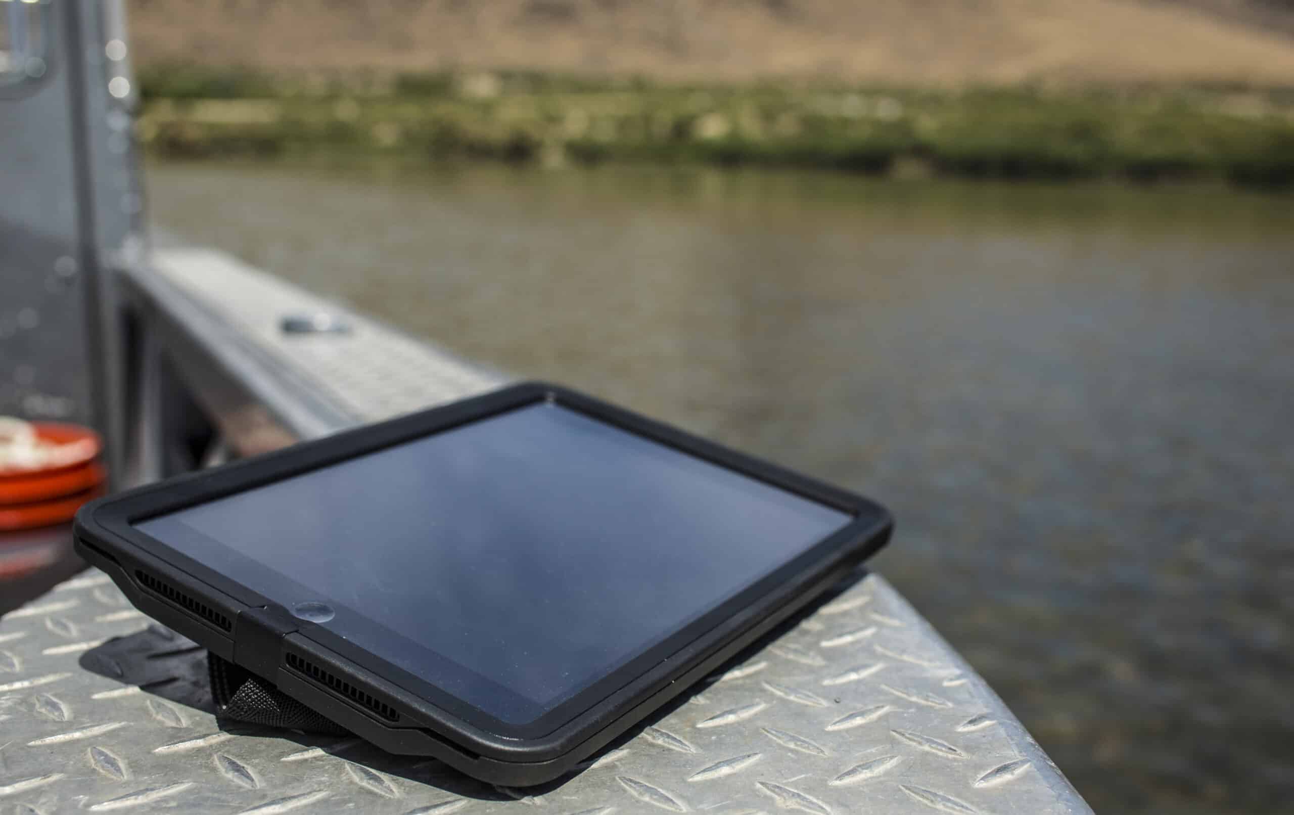
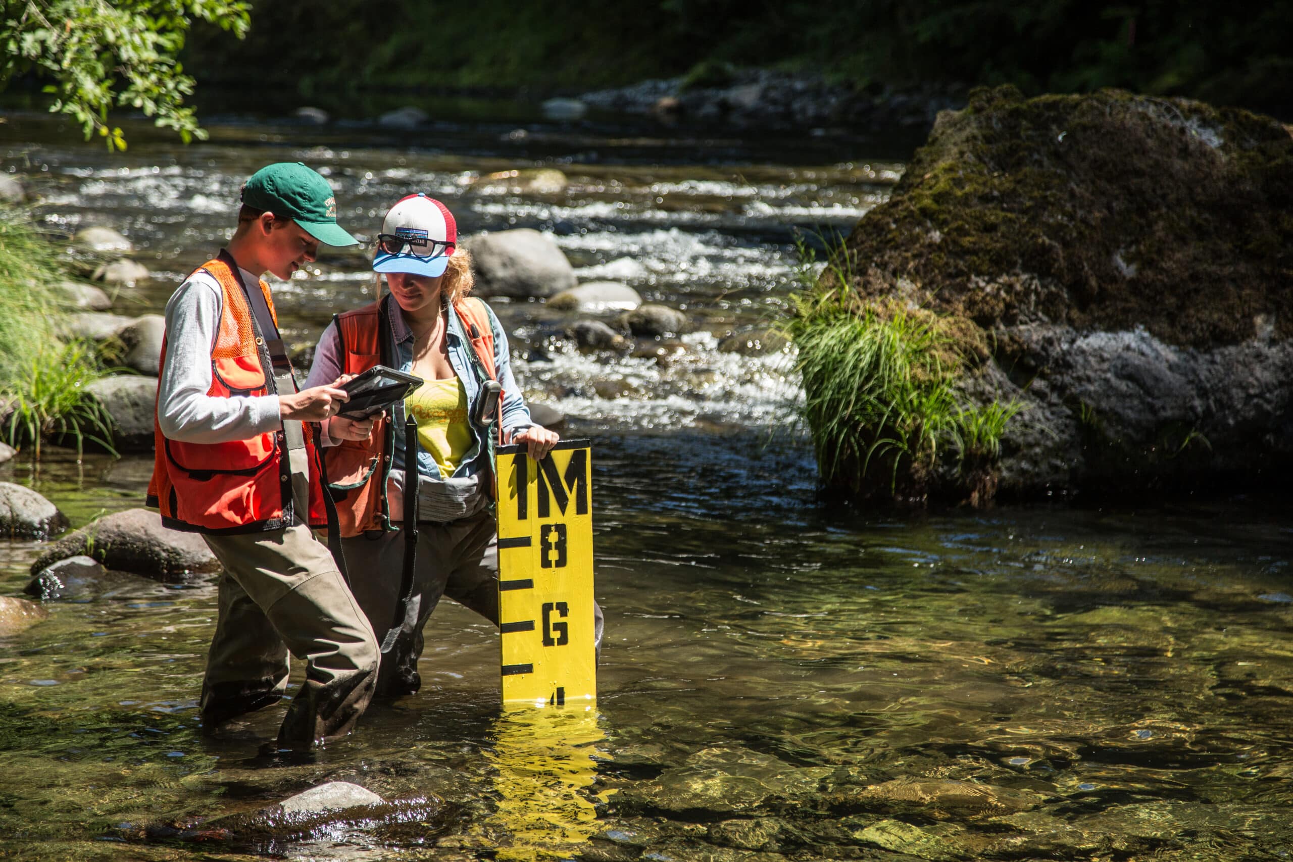
The iPad: Gone are the days of graph paper and notebooks and entries done by hand. All our monitoring staff are paperless, thanks to our StreamBank Monitoring App, which is tablet-optimized and allows our staff to enter all the data they gather into one central repository. The App is custom built to follow TFT monitoring procedure workflows, saving time and decreasing the opportunity to make mistakes.
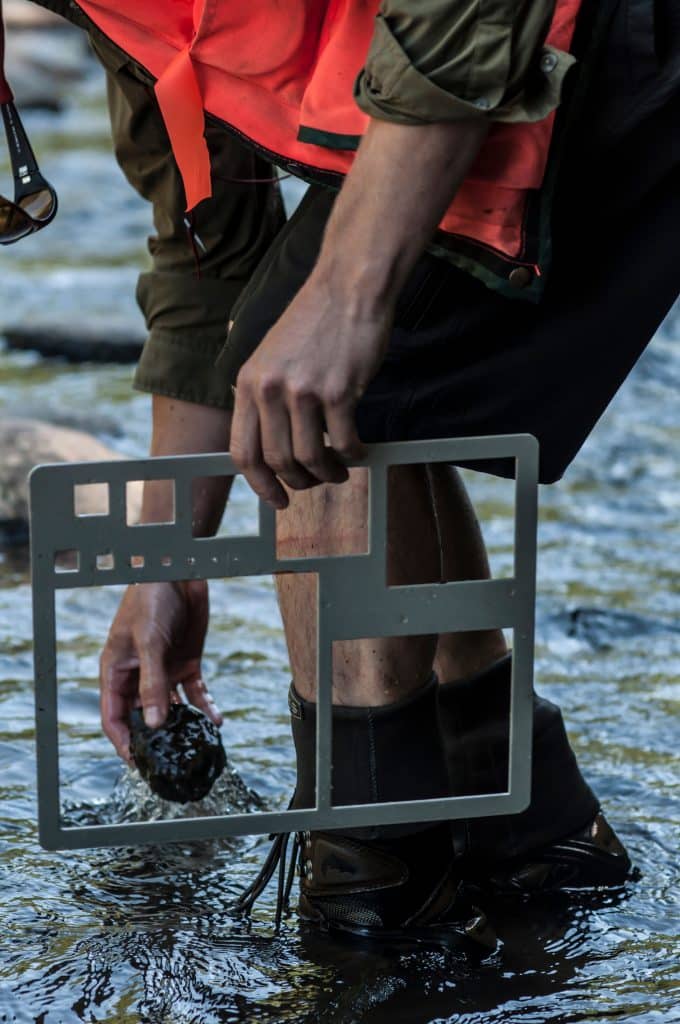
The Gravelometer: It’s essentially a piece of plastic or metal with different sized squares cut into it. Pick up a piece of gravel at a project site and slide it through one of the squares for quick identification of size. Different fish species spawn in different sized gravel.
The Stream Gage: This is a sensor that’s always at work. They’re placed in strategic locations to measure streamflow and can take continuous readings (often every 15 minutes) for months to even years without needing a human there to check it. We have these for temperature too.
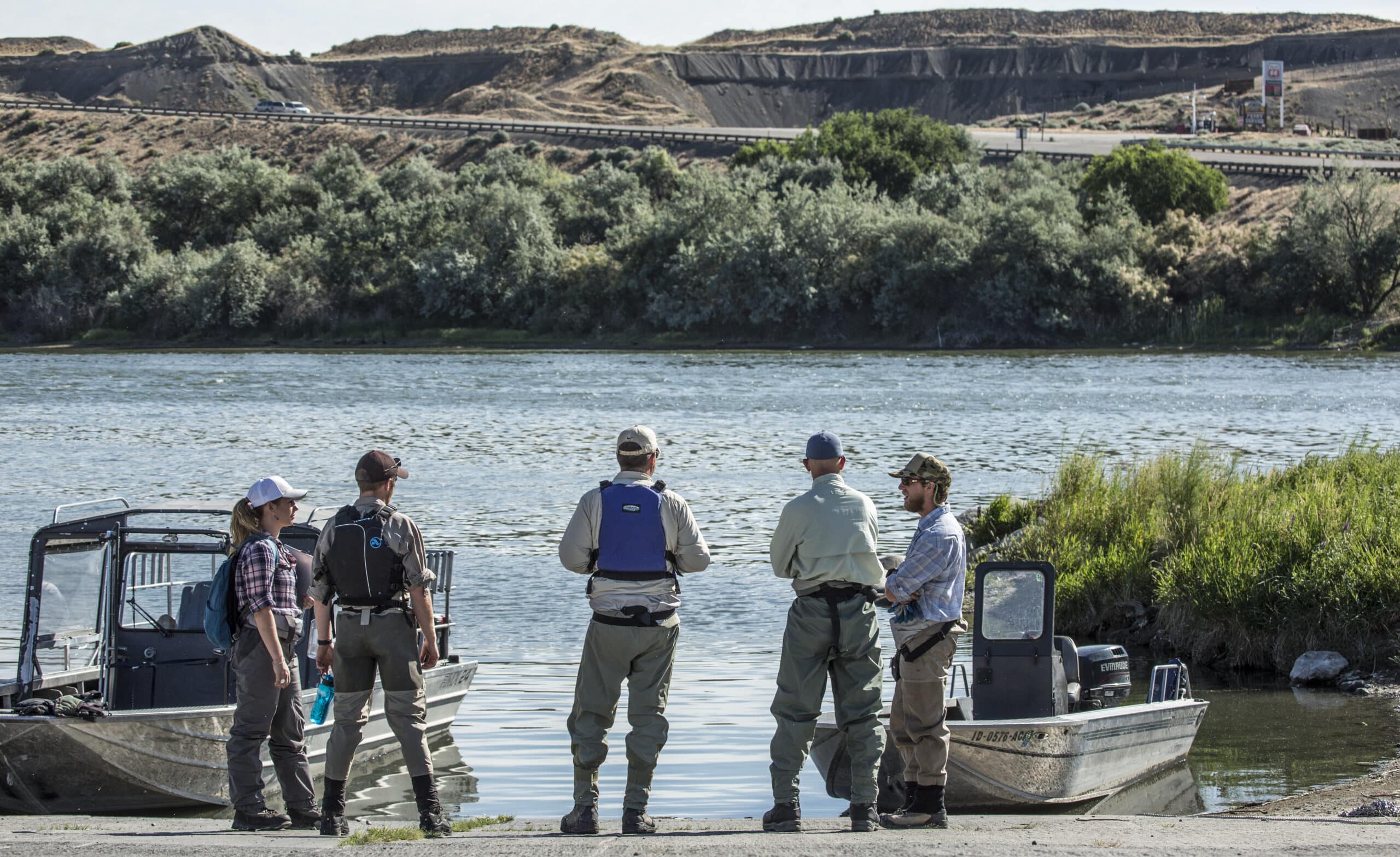
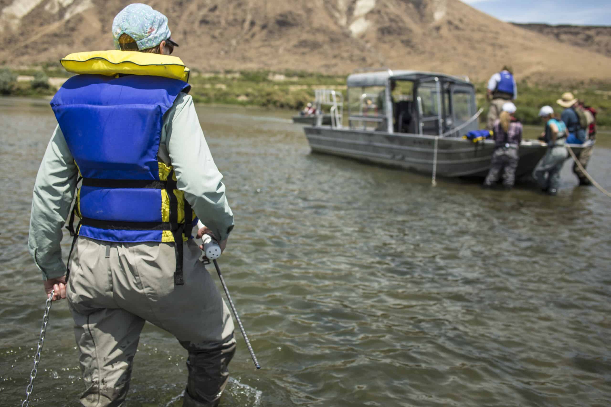
The Boat: We became the proud owners of a boat last year to help transport our staff along the Snake River and access Bayha Island, where last year, in partnership with Idaho Power Company, we expanded the island in effort to improve water quality.
The Range Finder: We use these to measure long-distance habitat types (where the stick just isn’t quite long enough), to estimate tree heights and other important project dimensions.
The Meter Board: This yellow board is a prominent feature in many of our monitoring photos. It’s used for scale and provides a nice reference point to compare changes at our restoration sites year after year.
The Drone: In 2016, TFT began a partnership with Portland State University and Oregon State University to study how drones can be used to identify the height of vegetation along rivers, thus giving us a better idea of how our restoration sites are performing and to identify the area most in need of a little love.
Ourselves: We may use a lot of fancy tools, but a few of the most important are the lesser notorious. Our staff are human powered, hiking miles along rivers every day. Many of our sites are inaccessible any other way. And the staff’s unique knowledge and experience ends up being invaluable when it comes to monitoring and tracking our work.
Enjoying Streamside?
This is a space of insight and commentary on how people, business, data and technology shape and impact the world of water. Subscribe and stay up-to-date.
Subscribe- Year in Review: 2023 Highlights
By Ben Wyatt - Report: Leveraging Analytics & Funding for Restoration
By Joe Whitworth - Report: Transparency & Transformational Change
By Joe Whitworth - On-the-Ground Action – Made Possible By You
By Haley Walker - A Report Representing Momentum
By Joe Whitworth

